

KNMI Issues Severe Wind Alert for Thursday
Gusts up to 120 km/h along the coast, code yellow inland; expect travel disruption and secure loose items.

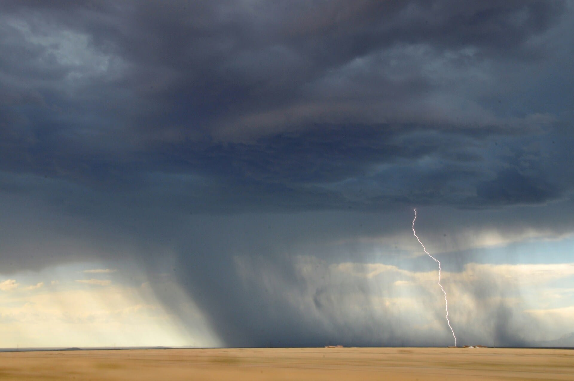

Gusts up to 120 km/h are expected along the coast, with code yellow inland. Disruption to travel and outdoor events is likely, and authorities advise taking precautions.
The Royal Netherlands Meteorological Institute (KNMI) has upgraded Thursday’s wind warning to code orange for the western coastal provinces, citing the risk of very strong gusts that may reach around 120 km/h near the coast and exposed areas. The rest of the country remains under code yellow, with widespread strong winds and local heavy gusts possible.
What the alerts mean
A code orange is issued when weather conditions can cause significant impact and danger, such as falling trees, flying debris, and hazardous travel, especially for high-sided vehicles, cyclists, and pedestrians. KNMI guidance notes that coastal code-orange wind events typically involve gusts around 120 km/h, while code-yellow thresholds inland start at ~75 km/h.

Expected impacts
Transport: Strong crosswinds can affect bridges, dikes, and coastal motorways; trucks, delivery vans with box bodies, and caravans are particularly vulnerable. Rail operators may reduce speeds on exposed lines, and airport operations can face delays or cancellations during peak gusts. Check your carrier’s live updates before travelling.
Ferries and waterways: Short-notice timetable changes are possible for coastal and IJsselmeer services.
Events and outdoor activities: Organisers often cancel or postpone outdoor events during code-orange wind; secure marquees, stages, and temporary structures.
Urban risks: Loose objects (scaffolding covers, terrace furniture, signage) can become projectiles; parks and wooded areas carry increased branch-fall risk.
Safety tips
Only travel if needed during peak gust windows; allow extra time and use public transport where feasible.
Secure loose items on balconies, gardens, and construction sites.
Avoid trees and open waterfronts during strongest gusts.
Cyclists and scooter riders: consider alternative routes or timing; dismount on exposed bridges.
Drivers: keep both hands on the wheel, slow down for side gusts, and give extra space to trucks and buses.
Keep up to date
Forecast tracks and warning areas can change quickly. Monitor the live KNMI warning map and local authority updates throughout the day, and follow guidance from transport operators for the latest on trains, roads, airports, and ferries.