


See more of Dutch Brief in your Google search results
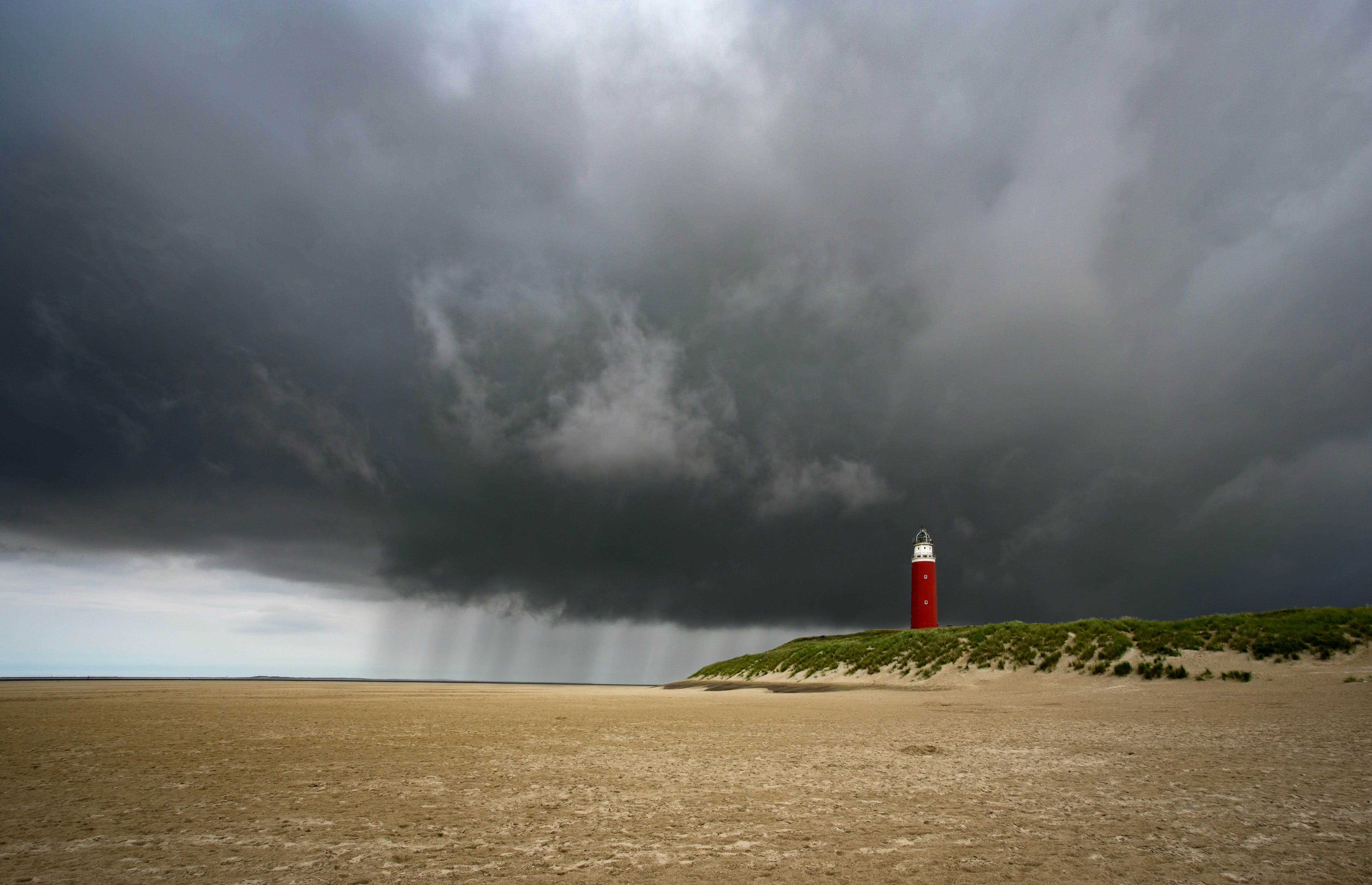
Autumn is here, and the Netherlands faces a weekend of strong winds and heavy rain as two storms move across northwest Europe in quick succession. The national weather service KNMI has issued a code-yellow warning.
Storm Austen arrives first
The first system, a low-pressure area called Austen and the first named storm of the 2026-2027 season, will reach the Netherlands on Friday afternoon after bringing wind and rain to France and Belgium. The southwest will be hit first. From late Friday afternoon, Zeeland, the South Holland islands, the southwestern coast, and Limburg can expect the first strong gusts. Later in the evening, the wind will spread east and west, reaching the Wadden and IJsselmeer areas overnight into Saturday.
KNMI has issued a code-yellow warning for severe wind gusts of 75 to 90 kilometres an hour in seven provinces and the Wadden region. The coast and the south are most at risk, and in the southwest, gusts could exceed 100 km/h. How strong the winds get will depend on Austen’s exact path, which also affects where the strongest gusts will be. It is still uncertain whether it will officially be called a “storm,” which in the Netherlands means an average wind of at least force 9 at an official measuring point.
SPONSORED
You’re overpaying your accountant. And they still don’t call you back.

Neno gives you a dedicated bookkeeper, automated admin, real-time financial insights and a free business bank account. Everything your business needs, in one place.
No chasing. No surprises. No unnecessary costs.
Then storm Boelo
Saturday won’t bring much relief. As Austen moves away to the north, a second storm, Boelo, will arrive from the north of the United Kingdom later in the day, bringing more unsettled weather. Its cold front will cross the country overnight into Sunday, and KNMI expects heavy rain across the whole country on Saturday evening. In the Wadden area and along the Noord-Holland coast, winds could briefly reach storm force 9.
Plenty of rain
Wind is only part of the story, rain is the other. KNMI expects 40 to 70 millimetres of rain during these wet spells, with the most falling in the south. On Friday alone, some areas could see 20 to 40mm.
What to do, and the wider picture
KNMI advises drivers, cyclists, and water-sports enthusiasts to be aware of the conditions and to check the latest forecasts, as regional warnings are the best guide for each area. The weather may not be as bad as expected during the day, with some dry or even sunny spells between the rain, so the end of the autumn half-term break might not be a total washout.
After an unusually dry summer that left rivers at record lows and led to an official water shortage, the rain is actually welcome in the long run, even if it means a wet weekend. This is the first named storm of the new season. Last year, Benjamin hit around the same time in late October and led to a code-orange warning for the whole country. Calmer and milder weather should return at the start of next week.